Services

Drone services for complex, high-stakes environments.

ODN plans and coordinates commercial drone operations for infrastructure, security, mapping, agriculture, and energy across Jordan and the wider region.
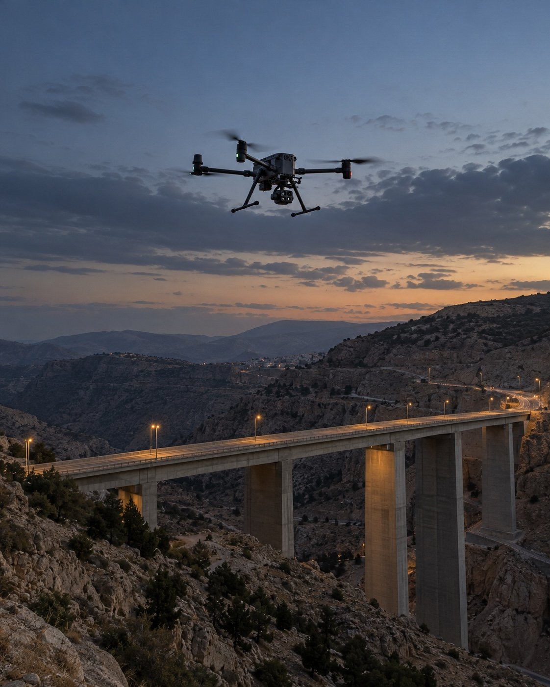
Enterprise drone flying above a concrete bridge in Jordan’s highlands at dusk.

From mission plan to actionable data

Plan the mission
We align on the objective, site requirements, airspace, crew and deliverables before flight.
Coordinate and fly
Our operations team coordinates with your site contact and conducts the mission to the agreed plan.
Deliver useful outputs
Receive the agreed imagery, inspection findings, maps or other aerial data for your next decision.

One operations partner, from mission brief to usable aerial data.

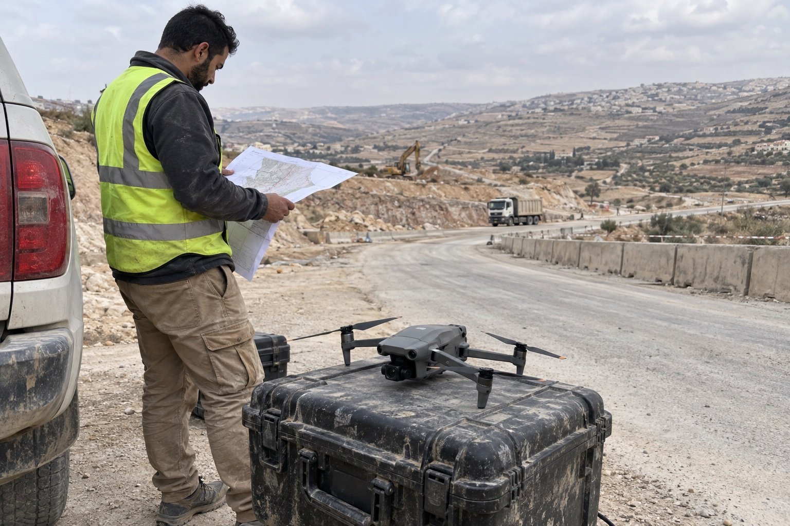
Field operations team reviewing site plans and aerial imagery in a temporary worksite office.
Mission planning
We define the objective, site conditions, crew roles, airspace considerations, and required deliverables before flight.
Coordinated flight operations
Pilots and field teams work from a shared brief, clear responsibilities, and agreed communications throughout the operation.
Aerial data, ready to use
We organize imagery and inspection outputs so your team can review findings, locate issues, and plan next steps.

Drone services, scoped to the mission.

ODN coordinates six specialist service lines across Jordan and the wider region. Each operation is scoped to the site, flight requirements, suitable payload or cleaning system, permissions, and the decisions the resulting data must support.
S01Cleaning

Aerial Cleaning Operations

Drone-mounted cleaning for high-rise facades, curtain-wall glass, solar arrays and industrial exteriors. ODN scopes each job to the surface, access, site controls and cleaning method, then agrees coverage and documentation with the client before work begins.

Facade and glass · Solar arrays · Industrial exteriors
S02Inspection

Infrastructure Inspection

Visual and LiDAR surveys document bridges, dams, towers, pipelines, active construction sites and civil structures, including hard-to-reach areas. Coverage is planned around the inspection objective; georeferenced imagery and observations are organized for engineering review.

Construction sites · Bridges and dams · Towers and pipelines · Optical / LiDAR
S03Security

Security Monitoring

Planned aerial patrols can support monitoring of defined perimeters, critical sites and event zones. ODN agrees routes, operating windows, communications and escalation contacts with the client; live or recorded video depends on site rules and permissions.

Planned perimeter routes · Site awareness · Agreed communications
S04Mapping

Mapping & Surveying

Flights are planned around area, terrain, access and required detail. Depending on the mission, outputs may include orthomosaics, elevation models, 3D point clouds or GIS-ready layers. Required accuracy, ground control and deliverables are agreed at scoping.

Orthomosaics · Elevation models · GIS-ready data
S05Agriculture & Environment

Agricultural & Environmental

Aerial surveys help teams compare crop conditions and decide where a closer field check may be useful. RGB or multispectral imagery can support vegetation mapping when the sensor, season and site conditions suit the task. Results should be reviewed with field observations and an agronomist.

RGB / multispectral capture · Vegetation indices · Field review
S06Energy & Industry

Energy & Industrial

Visual surveys can document solar arrays, transmission assets, wind installations and industrial sites. ODN plans agreed asset coverage and organizes geotagged imagery so qualified personnel can review observations; the capture method depends on the asset and operating conditions.

Solar and wind assets · Visual imagery · Geotagged findings
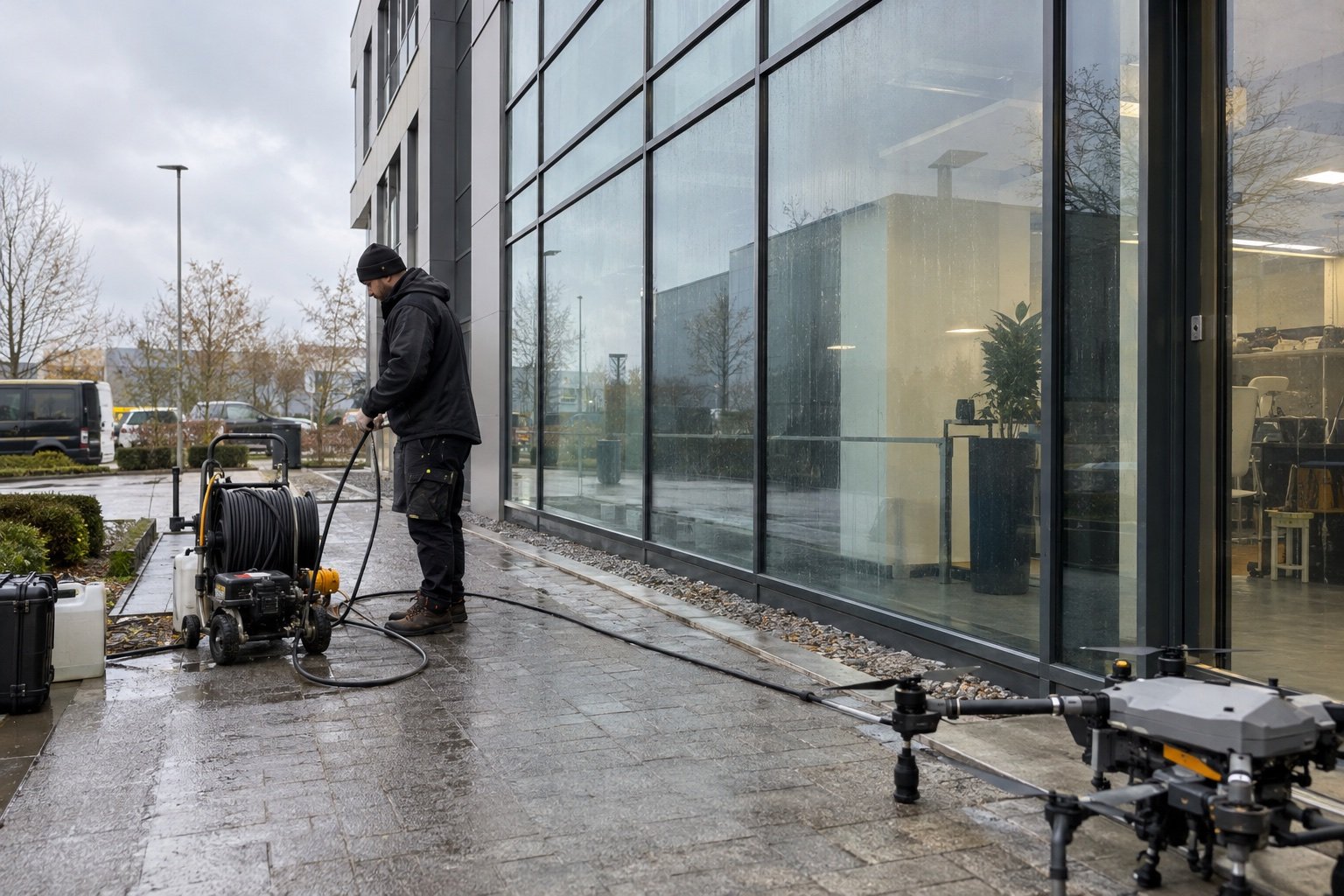
Drone-mounted system cleaning a high-rise exterior facade.

01 / CLEANING

Aerial cleaning operations

Drone-mounted cleaning can support suitable high-rise façades, curtain-wall glass, solar arrays, and industrial exteriors. ODN scopes each job around surface type, height, access, water and drainage, site occupancy, and safe operating areas. The agreed scope records the method, included coverage, site controls, and completion documentation.

Discuss an operation

Typical sites

Façades, glass, solar arrays, industrial exteriors

Scope factors

Surface, access, water, drainage, site safety

Handoff

Agreed coverage and photographic documentation

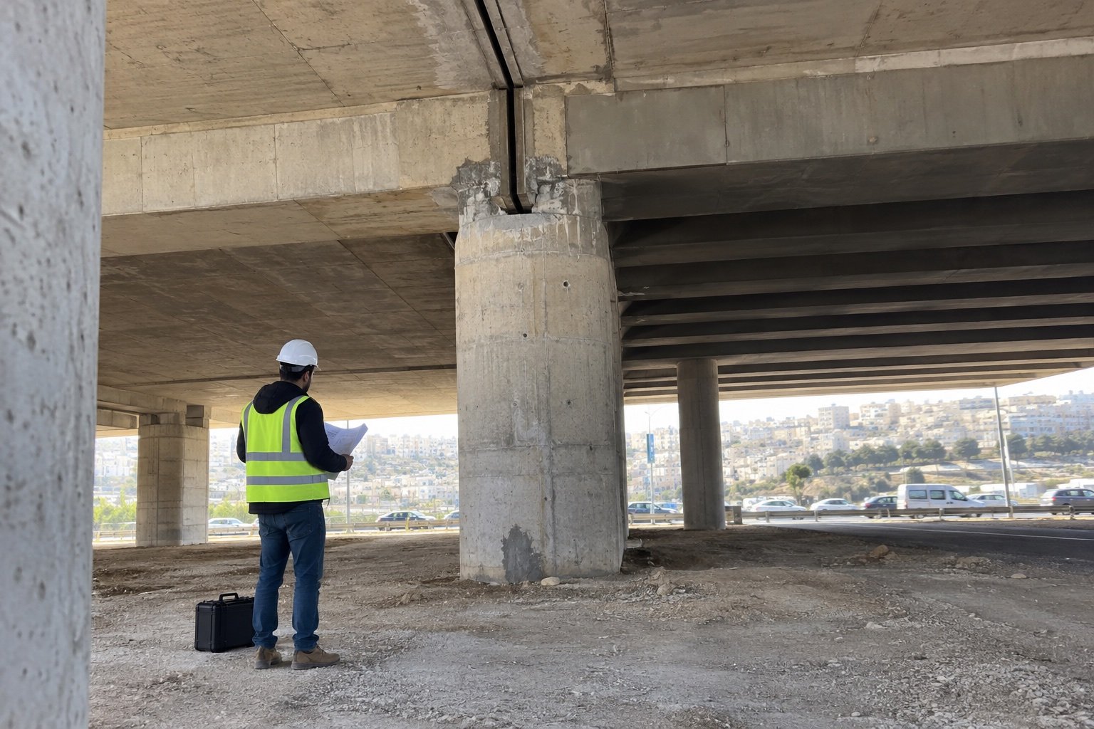
Drone-supported bridge inspection beneath a concrete highway structure.

02 / INSPECTION

Infrastructure inspection

Aerial visual and LiDAR capture can document bridges, dams, towers, pipelines, and other civil structures, including difficult-to-reach areas. Coverage is planned around the asset and inspection question. ODN organizes georeferenced imagery and observations for engineering review; drone capture does not replace a qualified engineer’s assessment or certification.

Discuss an operation

Typical assets

Bridges, dams, towers, pipelines, civil structures

Capture options

Visual or LiDAR as scoped

Handoff

Georeferenced imagery and observations for review

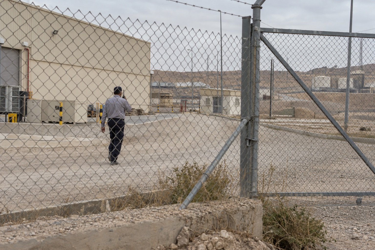
Drone monitoring a secured industrial site perimeter at dusk.

03 / SECURITY

Security monitoring

Planned aerial patrols can add an aerial view of defined perimeters, critical sites, and event zones. ODN and the client agree routes, operating windows, communications, escalation contacts, and privacy boundaries in advance. Live or recorded video depends on site permissions and the operating plan. A drone patrol complements, rather than replaces, site security personnel.

Discuss an operation

Typical use

Perimeter checks, site awareness, event support

Agreed controls

Routes, timing, communications, escalation, privacy

Video

Live or recorded only where authorized

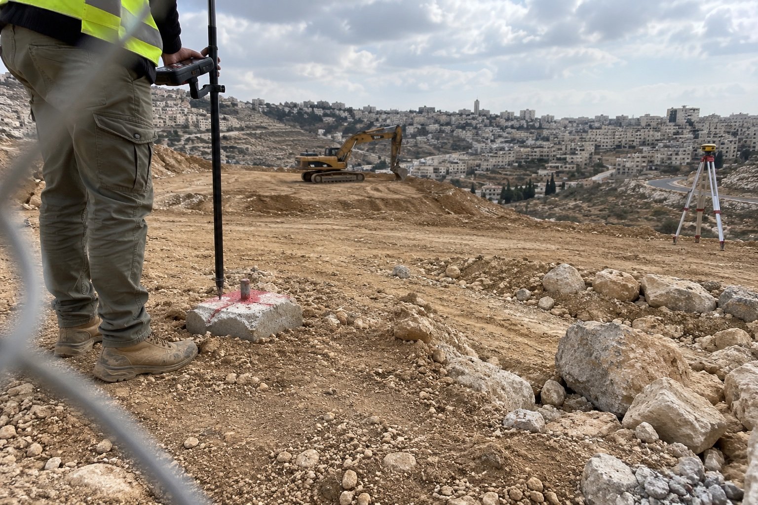
Survey professional reviewing an aerial mapping survey of rugged terrain.

04 / MAPPING

Mapping & surveying

Drone mapping creates a consistent view of a site, corridor, or land area for project planning, progress review, and spatial analysis. Flight height, overlap, ground control, terrain, and required detail determine the approach. Possible outputs include orthomosaics, elevation models, 3D point clouds, and GIS-ready layers. Accuracy and survey-control needs are agreed before work; regulated survey certification is not implied.

Discuss an operation

Typical areas

Construction sites, land, corridors, rugged terrain

Planning

Area, terrain, ground control, required detail

Possible outputs

Orthomosaics, elevation models, point clouds, GIS

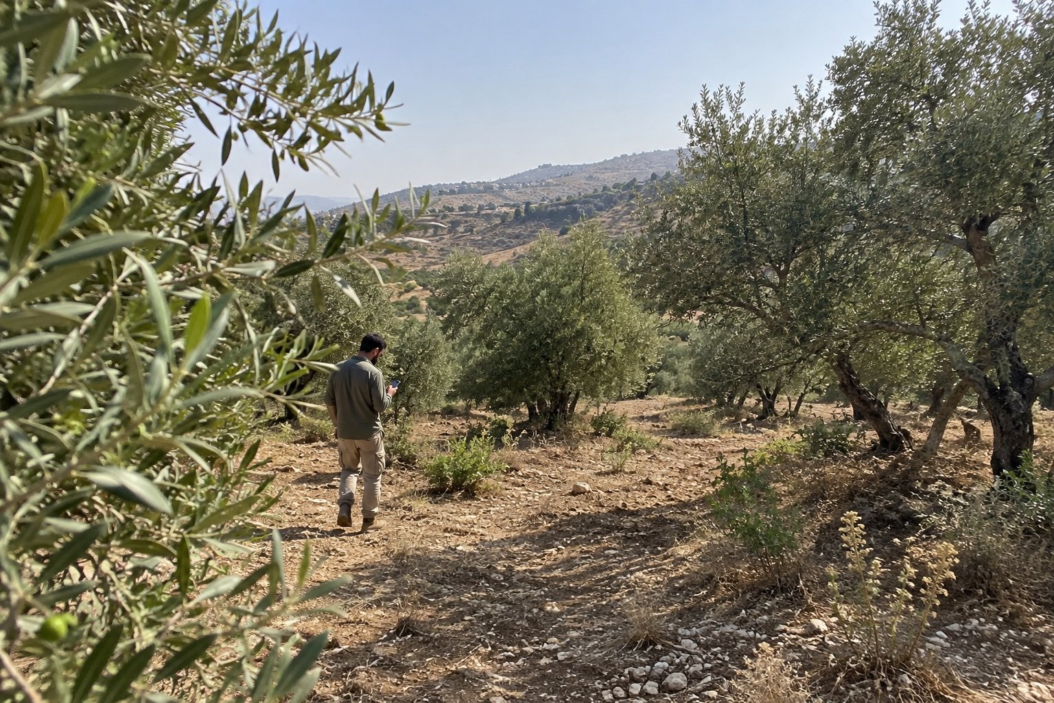
Agronomist walking through an olive grove in Jordan while checking a phone.

05 / AGRICULTURE & ENVIRONMENT

Agriculture & environmental monitoring

Aerial crop surveys help compare field conditions and identify areas for closer ground inspection across orchards, farms, and managed landscapes. Sensor choice and timing depend on crop, season, weather, and the question being asked. RGB and multispectral capture may support vegetation-index maps and field comparisons. The data can guide agronomist review but do not diagnose crop disease, soil conditions, or treatment requirements.

Discuss an operation

Typical sites

Olive groves, farms, orchards, landscapes

Capture options

RGB or multispectral as appropriate

Handoff

Field comparisons and areas for agronomist review

Technician checking solar panels with a handheld thermal camera on a rooftop in Jordan.

06 / ENERGY & INDUSTRY

Energy & industrial inspection

Visual drone surveys can help asset teams review solar arrays, transmission infrastructure, wind installations, and selected industrial sites. ODN scopes the asset list, operating conditions, access restrictions, and capture plan before flight. Qualified personnel review the imagery and observations; findings depend on access, visibility, and capture conditions, and do not replace electrical or engineering diagnosis.

Discuss an operation

Typical assets

Solar arrays, transmission, wind, industrial sites

Planning factors

Asset, load, weather, access, sensor choice

Handoff

Geotagged imagery and observations for review

Enterprise Drone Operations

Precision from above. Authority from the ground.

ODN coordinates commercial drone operations across infrastructure, security, mapping, agriculture, and energy. Each mission is scoped to its site, operating requirements, and the data your team needs.